-
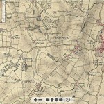
- OS map 1740 – 1840
-
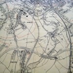
- 1820 map
-
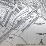
- Part of 1898 map showing Abbey station and gasworks
-
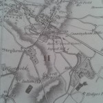
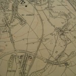
- Map of Sopwell, date unknown
-
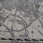
- 1924 map showing London Road station and surrounding roads
-
- 1930 OS map of Sopwell
-
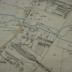
- 1939 map of Sopwell
-

- 1841 plan of St Stephen’s
-
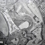
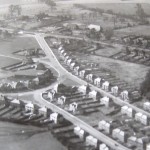
- Aerial view of Sopwell 1948
-
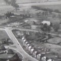
- 1949 view of Vesta Avenue and Tavistock Avenue with St Julian’s farm and the Tithe Barn in Watling Street


Latest comments